Mt. St. Helens erupted prior to my birth, and I actually only saw it once before I turned 16. But, since then, I've been trying to make up for lost time. Living within a few hours of it makes that pretty easy!
These pictures are all from within the last year.


These pictures are all from within the last year.
Memorial Day Weekend:

(I can't lie - this sign is always exciting!)

Still snow-covered.
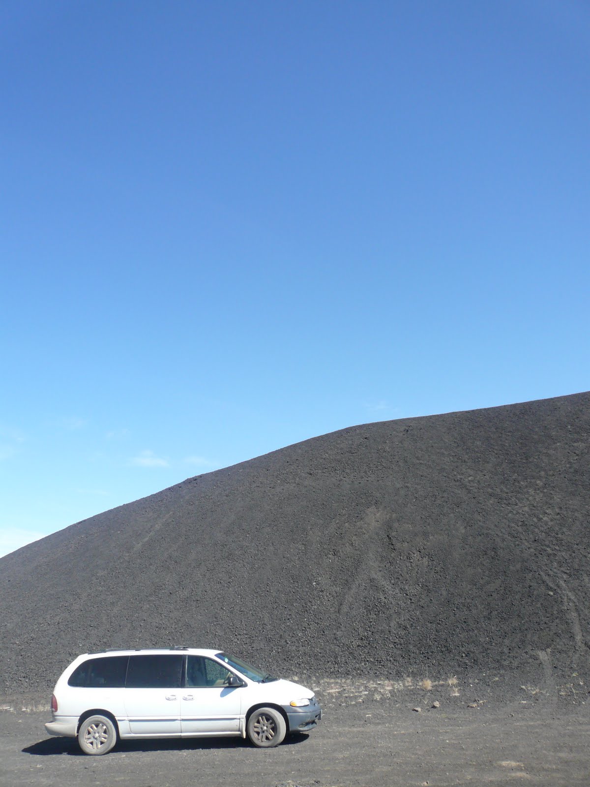
 Older flows contain the majority of Washington caves, including the ever-popular Ape Cave, open to tourists in the summer, and Gueller Ice Cave, a personal favorite.
August:

Without the snow, it's much easier to see the effects of the devastation.

Immediately after the eruption, there were large chunks of the mountain's glacier interspersed with this material. When these melted, they left behind hummocks, or piles of volcanic debris, including ash and large blocks from the cryptodome (the bulge.) The orange coloration is from geothermal alerting before the eruption - as they were heated and exposed to heated water and gases, the chemistry was altered.

Here you can see two different types of lava that were being mixed together when they erupted.

Spirit Lake: Even to this day, there's a layer of logs on the surface of the lake. They float around the lake when the wind blows.
September:

The wind picking up ash on the crater.

The lava domes! The old one is in the foreground, the new one in the background. Should you decide to climb Mt. St. Helens as a tourist, you'd hike up the back side, and summit at the crater wall seen in the background.

A concentrated pyroclastic density current near the crater, with hiking staff for scale.

Gas escape pipe in another pyroclastic flow. After the eruption, the gas that was in the flow needed a way to escape, and formed these pipes to the surface.

Spirit Lake, again, as seen from the Pumic Plain

Older uplifted flows

Pumice (with frog for scale)

This is a small hole dug into the pumice plain. You can see the layer of pyroclasic flow, with the pumice that was rafted to the top. Then, immediately on top is the layer of ash deposited from the ignimbrite cloud. (A layer of very fine ash that rose from the pyroclastic flow, then fell after the flow was deposited.)

Debris avalanche deposits are visible here, seen as the triangle of rising ground in the center. On May 18th, there was a 5.1 earthquake that released the largest landslide in history. This landslide released the pressure in the cryptodome, which trigged the eruption, and the pyroclastic flow. The pyroclastic flow traveled faster than the landslide (or debris avalanche) so the debris avalanche deposits are on top of the pyroclastic flow deposits.

When the pyroclastic flow overran a small lake, the water was flash boiled, creating an explosion pit. This one has been subsequently filled by water.

This is a sample of the dacite cryptodome from the 1980 eruption.

This is obviously my favorite.
References: I learned most of this in the class I took last summer, and the brief fieldwork I did with that professor. They were both pretty awesome experiences!